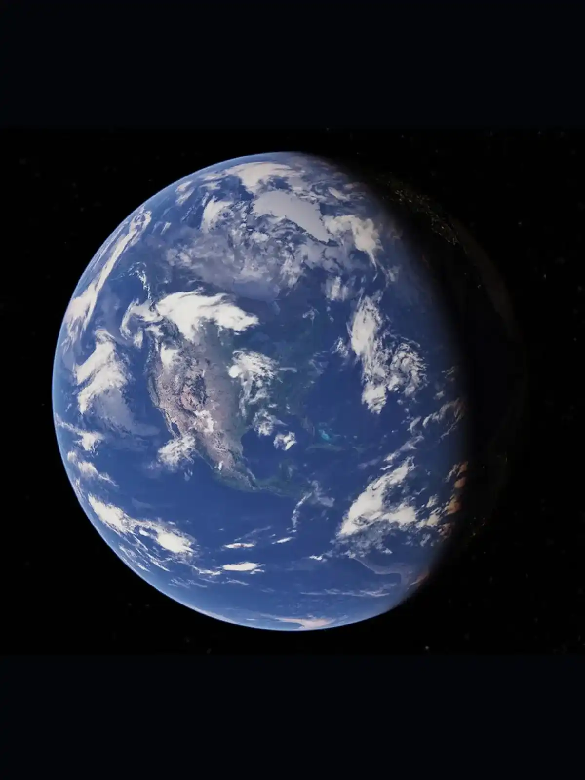
Google Earth
Explore the far reaches of the world, right in your browser.
Who it helps
Individuals
Researchers
Scientists
Educators
Communities
Businesses
Governments
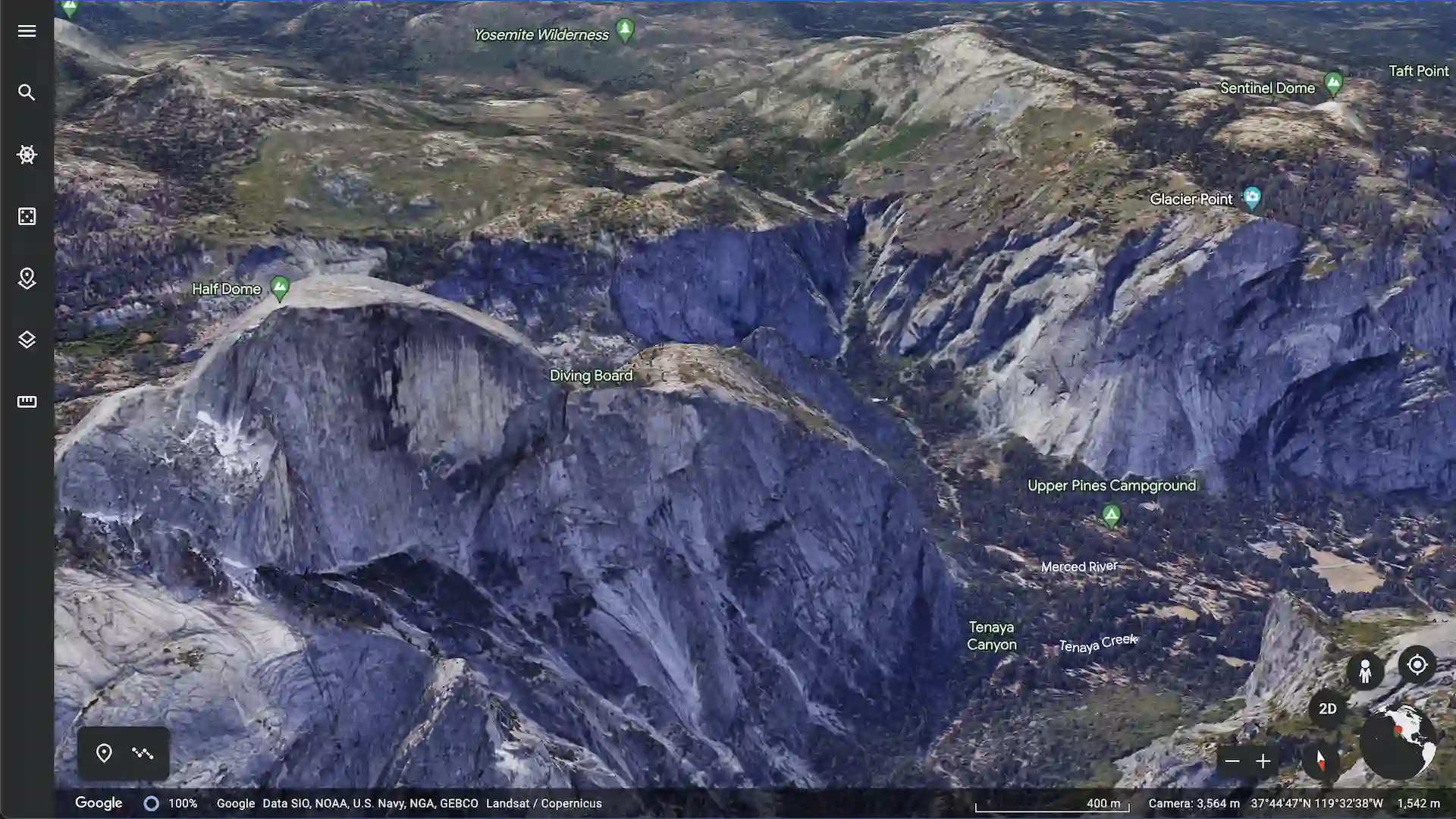
What it does
Combines aerial photography, satellite imagery, 3D topography, geographic data, and Street View to make available the world’s largest publicly accessible repository of geographic imagery, with tools to better understand our world and take action to create positive change
In collaboration with
Teams at Google
How it’s used
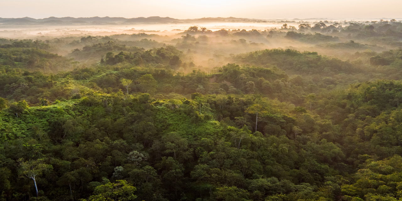
Forest, Nature and Environment Aceh (HAkA)