research
Driving global progress
with AI-powered solutions
Explore key initiatives
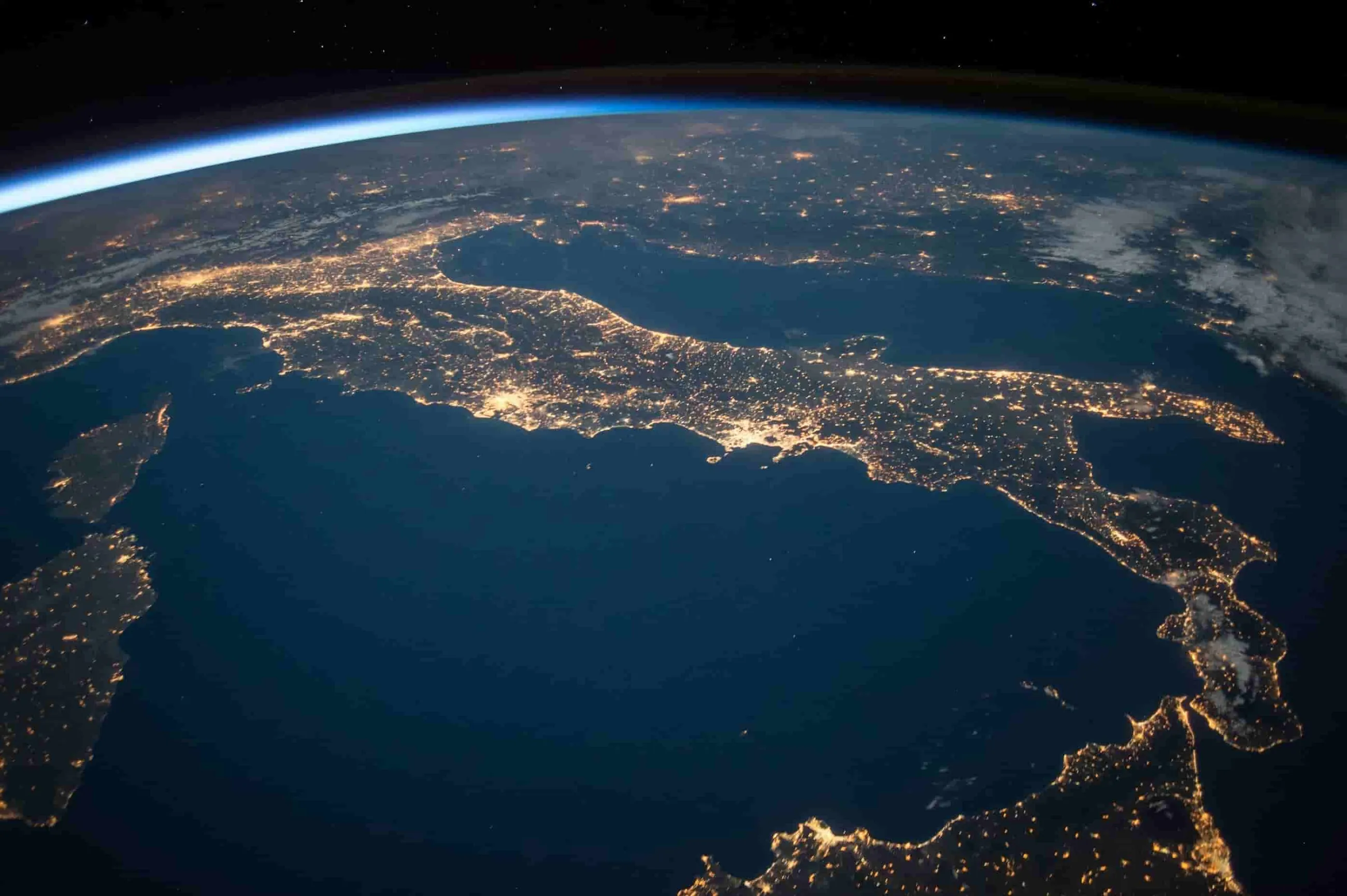
Together with our partners, we’re accelerating progress toward a more resilient future by applying AI in surprising ways that make an impact—in the clouds formed behind airplanes, the timing of a traffic light at a busy city intersection, and providing first-responders with near real-time insights on wildfires.
Tapestry
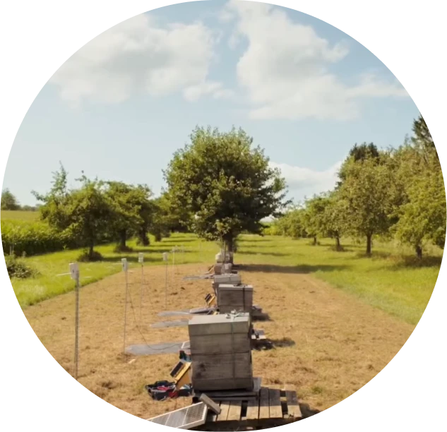
Enabling electricity grid operator PJM to operate more sustainably
PJM interconnection, the largest grid operator in North America, and Tapestry, an Alphabet-incubated moonshot powered by Google Research, Google Cloud, and Google DeepMind, are helping PJM connect energy sources to its grid much faster to make electricity more reliable and affordable for the 67 million people PJM serves.
Learn moreFiresat
Partnering with Earth Fire Alliance to use AI for faster wildfire detection
FireSat is a satellite constellation that uses high-res satellite imagery and AI to provide near real-time insights on wildfires. Developed in partnership with Google Research, Muon Space, Earth Fire Alliance, Moore Foundation, wildfire authorities, and others, FireSat enables faster detection, improved situational awareness for first responders, and ultimately helps reduce the devastating impacts of wildfires.
Learn moreFlood forecasting
Using AI to give flood-prone communities time to act
Google Flood Hub displays forecasts based on a breakthrough global hydrological AI model to predict riverine floods up to seven days in advance in over 100 countries. This covers territories where more than 700 million people live globally, helping these communities prepare for and respond to riverine floods.
Learn moreGeospatial reasoning
Unlocking insights with generative AI and multiple foundation models for climate resilience and more
Google Research initiative Geospatial Reasoning uses Gemini’s 2.5 advanced reasoning capabilities to intelligently plan and orchestrate analytics across diverse geospatial data sources—maps, socioeconomic data, satellite imagery, and 3P proprietary datasets—delivering insightful results.
Learn moreProject green light
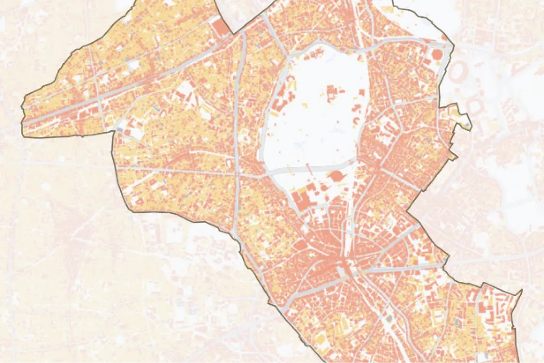
Improving traffic flow and making city streets more efficient
Using AI, Green Light optimizes traffic lights to reduce vehicle stops, helping alleviate congestion and decrease emissions while improving urban mobility for people in cities around the globe.
Learn moreProject contrails
Reducing planet-warming contrails using AI
Contrails—the thin, white lines seen behind airplanes—account for roughly 35% of aviation’s global warming impact.1 Google Research teamed up with American Airlines, EUROCONTROL, and academic experts to bring together huge amounts of data—and used AI to develop a cost-effective and scalable way to help to mitigate aviation’s climate impact.
Learn moreWeatherNext
Producing state-of-the-art forecasts up to 10 days in advance
Using AI models from Google DeepMind and Google Research, WeatherNext can produce affordable, fast, and accurate weather predictions up to 10 days in advance, and a range of likely future weather scenarios up to 15 days in advance.
Learn moreWho we partner with
We believe that everyone—from policymakers, industry leaders, and civil society—must work together for climate action. Our cross-sectoral collaborations are enabling our partners to advance bold sustainability goals.

Governments and intergovernmental organizations
We empower national, regional, and city governments, as well as intergovernmental organizations, with data and tools.
Customers
We’re providing powerful insights to help companies around the world reduce their emissions, increase visibility across their supply chain, and predict climate risk.
Startups, entrepreneurs, and innovators
We partner with, and invest in startups, entrepreneurs, and innovators with bold ideas and ambitious projects to accelerate progress in climate information and action.
Researchers, academics, and NGOs
We’re helping advance scientific research by providing cutting-edge climate and nature-related data and analytics to researchers from academic institutions and NGOs.
Featured tools
- Filter by topic:
-
 Earth
Earth
-
Biodiversity
-
Data Mapping
-
Energy
-
Water
-
Weather
-
All

Data Commons
Explore data about climate, health, food, crops, shelter, emissions, and more.
Explore tool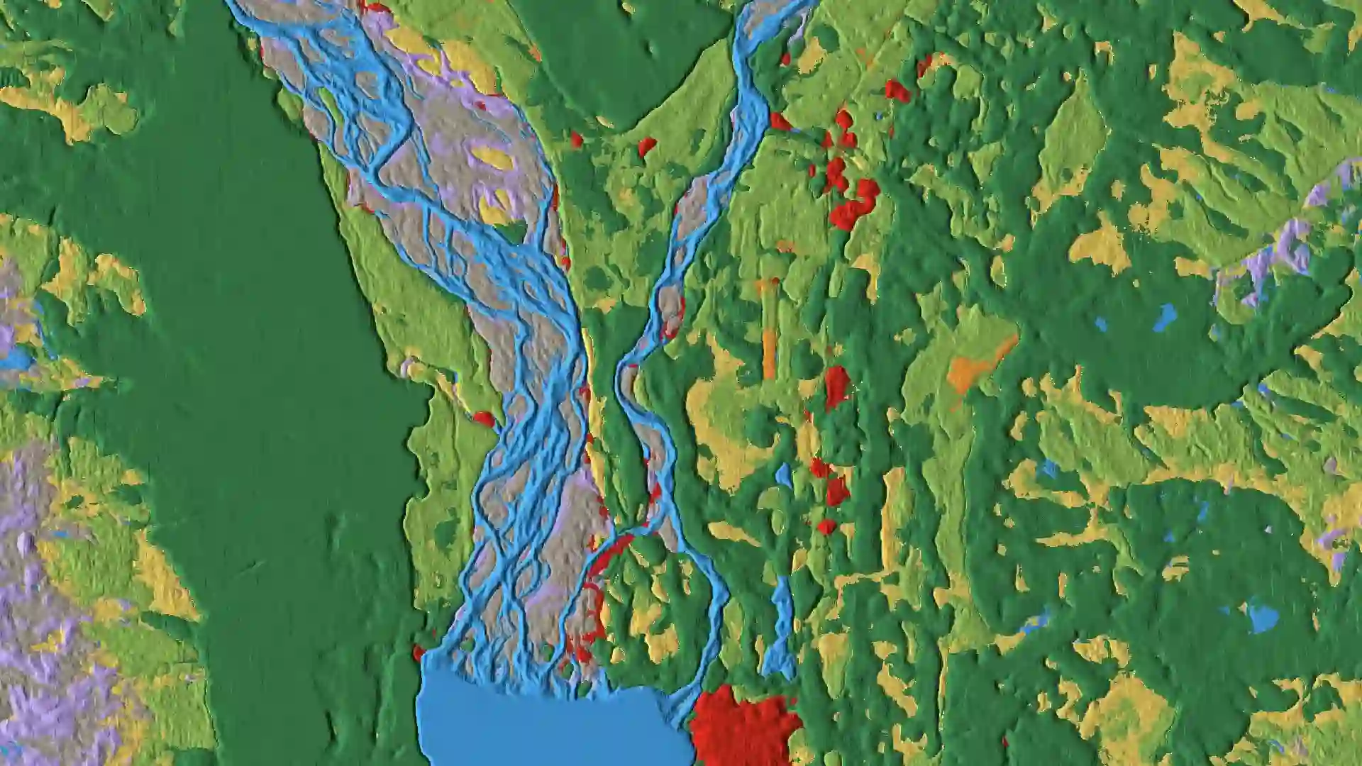
Dynamic World
Browse a near realtime land cover dataset for our constantly changing planet.
Explore tool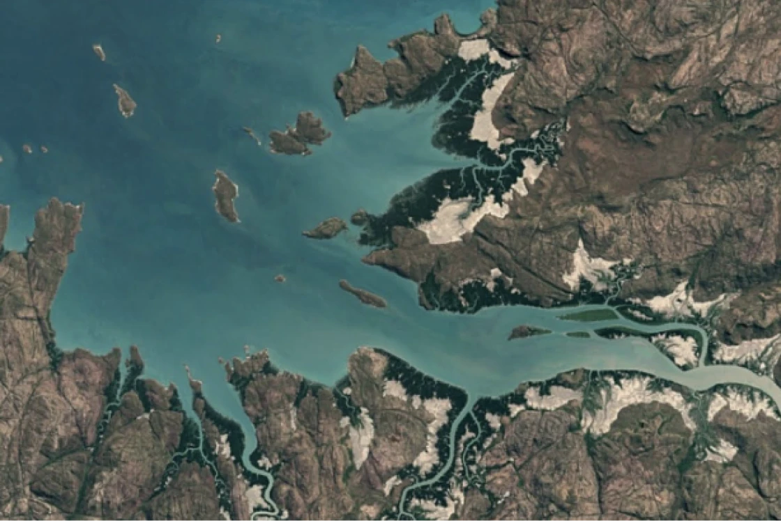
Environmental Insights Explorer
See how cities and local governments can analyze emissions data and identify strategies for climate action.
Explore tool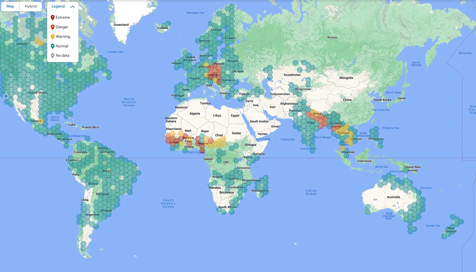
Global Fibre Impact Explorer
Understand the environmental impact of your fiber sourcing decisions.
Explore tool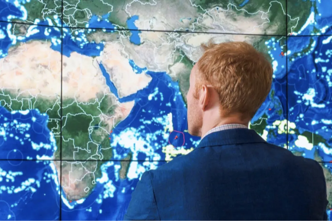

Heat Resilience Tool
Helps cities quantify how to reduce surface temperatures with cooling interventions.
Explore tool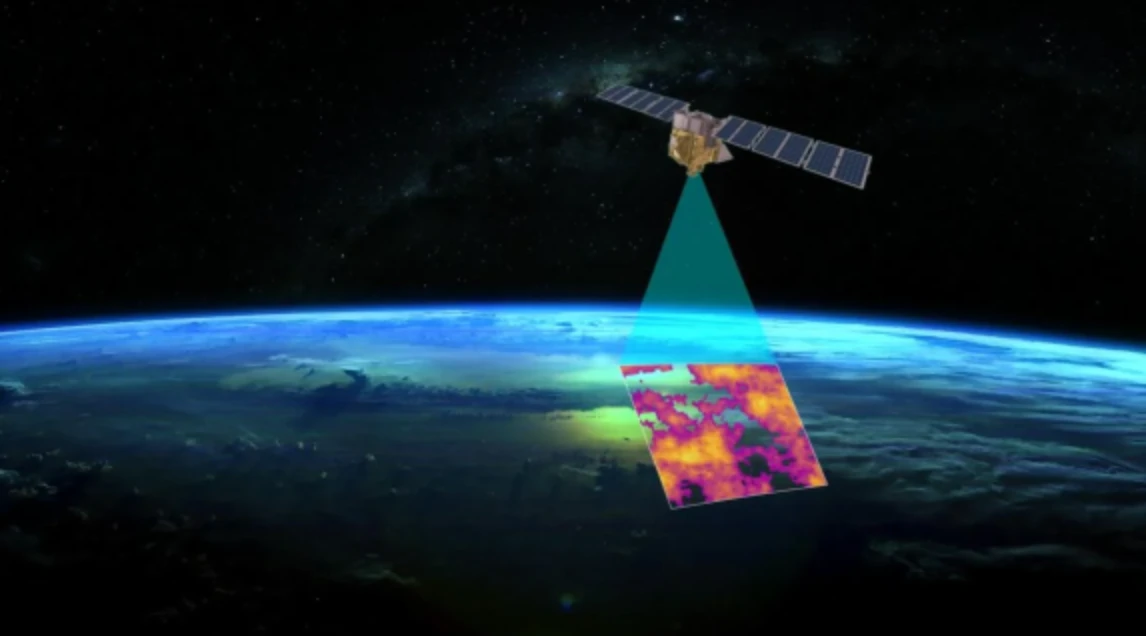
MethaneSAT
Maps, measures, and tracks methane, offering a comprehensive view of global oil and gas methane emissions.
Explore tool
Project Sunroof
Get your own personalized solar savings estimator, powered by Google Earth.
Explore tool
Solar API
Deploys solar installations faster with solar data, solar insights, and rooftop imagery all in one place.
Explore tool

Travel Impact Model
Predicts greenhouse gas emissions for future flights to help travelers plan more sustainably.
Explore tool
WeatherNext
Produces state-of-the-art weather forecasts, learning directly from vast amounts of historical weather data to generate predictions often 10 to 15 days in advance.
Explore tool
Wildlife Insights
Browse through the largest publicly accessible collection of wildlife photos taken from remote cameras in the world.
Explore tool